
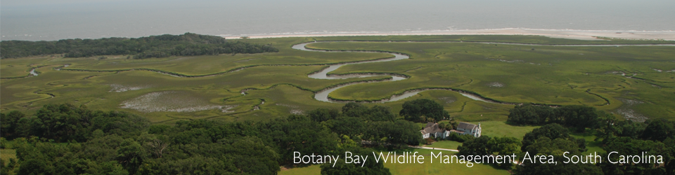
The Southeast Coast Saltwater Paddling Trail was an idea that started from several different beginnings. It became a real project when the Coastal Georgia Regional Commission and the National Park Service—Rivers, Trails & Conservation Assistance Program (RTCA) started working together on the first segment in Georgia. One goal of that project was to connect Georgia to the Florida Circumnavigational Saltwater Paddling Trail which had been completed a few years earlier. RTCA staff from the Atlanta office then identified partners in each of the three other states (South Carolina, North Carolina, and Virginia) in order to meet with local stakeholders to identify the main trail corridor. The state planning partners worked with local and regional parties to identify existing canoe/kayak access sites as well as camping/overnight facilities to support day paddles or multi-day paddling trips.
The following agencies served as planning partners: Virginia Department of Conservation and Recreation, South Carolina Department of Natural Resources, the Georgia Department of Natural Resources, and The Conservation Fund of North Carolina.
Other agencies involved in the planning of the trail include the Coastal Regional Commission of Georgia, the Hampton Roads Planning District Commission (Virginia), and the Charleston County Park and Recreation Commission (South Carolina).
There were also numerous participants in the planning meetings representing local government, non-profits, and paddling enthusiasts.
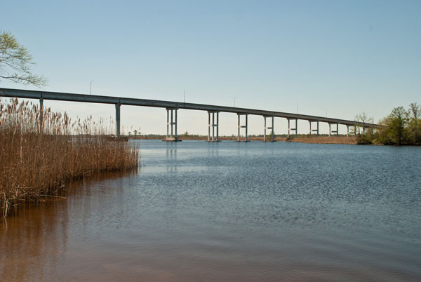
Bridge over the North Landing River at Old Pungo Ferry Rd Launch, Virginia Beach, VA. Photo credit: Sara J. Kidd/HRPDC