
The Georgia coastline stretches for approximately 100 linear miles from the St. Marys River Sound in the south to the Savannah River Sound in the north. A majority of the trail in Georgia is for intermediate to advanced paddlers only. Contacting an experienced outfitter/guide is highly recommended. The trail is divided into 11 sections starting at St. Marys and going north toward Savannah. There are eight major, and several smaller, barrier islands that are separated from the mainland by vast salt marshes. The Georgia barrier island system is the most undisturbed system of large barrier islands in the nation. Ten of the barrier islands are in public ownership, and most are designated as wildlife management areas, heritage preserves and undeveloped recreational areas. With the exception of Jekyll Island, which is a state park, the publicly owned barrier islands are not connected to the mainland by causeways.
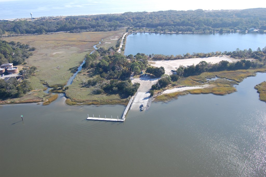
Darien City, GA Boat Ramp. Photo Credit: GA DNR
Georgia also has the largest tidal amplitude in the Southeast causing rapid changes in conditions; paddlers will need to monitor the tidal charts to plan their trip. The trail overlaps the Atlantic Intracoastal Waterway for large sections but also deviates to reach more protected waters and stopover points. Paddlers should have intermediate to advanced skills and be knowledgeable about coastal conditions. The Georgia Coast is largely undeveloped and certain sections of the trail cover long distances to reach the next publically owned location. While beautiful, raw, and wild, careful planning and awareness are needed to insure a safe and enjoyable trip. Privately owned but publicly accessible locations are available along the route but are not listed as destinations. The beaches are open to the public up to the high tide line. However, accessing many beaches may be difficult. All of the beaches in Georgia are located on the seaward side of the barrier islands. This water trail was located on the interior of barrier islands in more protected waters and closer to amenities.
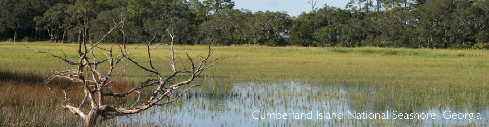
The southern end of the trail starts in St. Marys, Georgia and connects the Southeast Coast Saltwater Paddling Trail to the Florida Circumnavigational Saltwater Paddling Trail at Fort Clinch State Park on Amelia Island, Florida. The oak lined streets of the small town of Saint Marys have a rich history dating back to the mid-1500’s. St. Marys is the gateway to Cumberland Island National Seashore on Cumberland Island, the largest barrier island on the coast.
The trail leaves Cumberland and weaves through vast salt marshes, following the barrier islands and along the Intracoastal waterway, including developed islands like St. Simons and Jekyll and the more remote Sapelo and Ossabaw. The Georgia portion of the trail includes a National Seashore, 2 National Monuments, 4 National Wildlife Areas, 4 State Parks, as well as State Wildlife Management Areas and Natural Areas. Small coastal towns, marinas, and fish camps add opportunities for stopping places, re-supply sites or the start or end to a paddle trip.
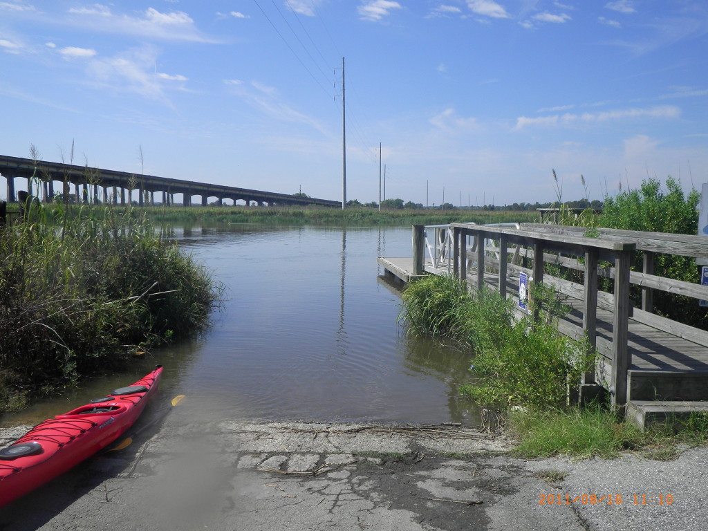
Jekyll Creek Boat Ramp, GA. Photo Credit: GA DNR
The last point of the trail in Georgia is Tybee Island and from there the trail crosses the Savannah River and ties into the South Carolina portion of the trail.
The Georgia section of the Southeast Coast Saltwater Paddling Trail was originally mapped by the Coastal Regional Commission as a separate project. The purpose was to link publicly accessible sites along the Georgia coast for through paddlers, day paddlers and overnight trips, into a main route through Georgia with several connecting sections.
Click to download the original Georgia Coast Saltwater Paddle Trail document.
Related Resources
Water Trail Links & Events
Outfitters
- Southeast Adventure Outfitters
- Up The Creek Xpeditions
- Altamaha Coastal Tours
- Sea Kayak Georgia
- Savannah Canoe and Kayak
- North Island Surf and Kayak
- Canoe Canoe Outfitters
Events/Other Information
- Georgia Kayak Fishing
- Georgia’s Golden Isles & Colonial Coast Annual Events
- Tybee Island
- Savannah
- Georgia State Parks
- Cumberland Island National Seashore
- Fort Frederica National Monument
- Fort Pulaski National Monument
- Visit Coastal Georgia