
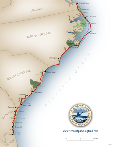
 Currently, we have one printable map showing the entire length of the trail (see above). In the future, we hope to be able to produce more details maps of each section.
Click to download a letter-sized PDF of the whole trail.
Since Georgia developed their portion of the trail as a part of a different project, they have a very detailed document and maps describing the trail. Click to see the Georgia Coast Saltwater Paddling Trail document.
To see detailed information on the trail location, access points, roads, etc. please visit our interactive maps.